![]()
![]()
POLAR ORBIT
The Satellites dedicated to Earth and atmosphere observations follow a polar or near-polar elliptical orbit, so that they are able to fly over regions at all latitudes and can provide images at high spatial resolution of specific areas.
While the polar orbit has an inclination of 90 degrees with respect to the equatorial plane, the near-polar sun-synchronous orbit has an inclination from 95 to 100 degrees to the equatorial plane and its altitude is between 600 and 800 Km, with a period from 90 to 100 minutes. In this case we say that the satellites follow a “Low Earth Orbit”.
Satellites in such orbits will complete 14 orbits around the Earth in a day (if one orbit is done in 100 minutes) and, due to the low Earth orbit, they will move at a very high speed, in order to balance the Earth's gravitational attraction. These satellites are affected by the braking action of the atmosphere, due to their rather low Earth orbit; then, they are equipped with special motors and automatic stabilization systems to avoid changes in speed.
A satellite in polar orbit is able to scan the Earth's surface in a few days.
Meteorological data come from satellites in geostationary orbits, but starting with the MetOp program (Meteorological Operational satellite program), the meteorological data are provided by satellites in a “Low Earth Orbit”. Metop satellites provide global data for weather forecasts up to 10 days and climate monitoring.
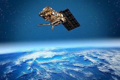 MetOp
(Credits:
ESA/AOES Medialab).
MetOp
(Credits:
ESA/AOES Medialab).
Find out more about Metop-Second Generation (Metop-SG), EUMETSAT's next generation of polar-orbiting satellites: click HERE.
